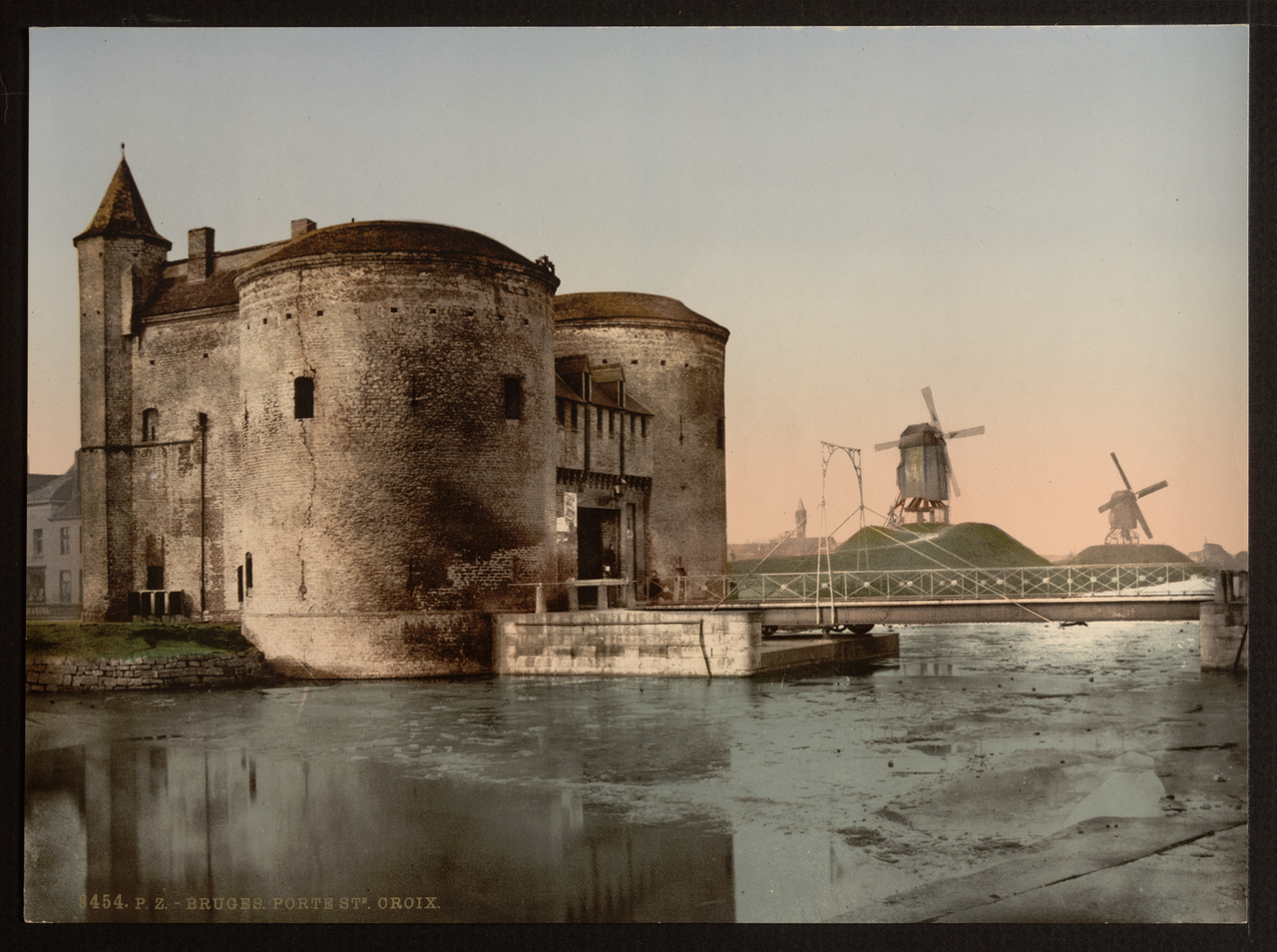
Origins of the Reie Network
The Reie river and its branches drained marshy land later parcelled for building. Channels were straightened and lined to create quays for loading wool bales and wine casks. Bridge counts and widths appear in medieval bylaws regulating cart access.
Monastic communities maintained early sluices; civic engineers assumed responsibility as trade volumes grew. Flood marks on guild house walls record high-water events used in modern risk mapping.
Bruges sits barely above sea level — precise sluice timing prevents salt intrusion while allowing drainage after rainfall.
Connection to Damme and the Zwin
The Damme canal linked Bruges to outer harbours before Zwin estuary silting reduced direct sea access. Damme functioned as a satellite port with warehouses and customs houses under Bruges jurisdiction.
Silting forced reliance on Sluis and later Antwerp, contributing to Bruges's fifteenth-century economic relative decline while preserving its built fabric from industrial port expansion.
Quays, Bridges and Mooring Heritage
Historic quay walls use brick and stone revetments inspected during heritage walks. Iron mooring rings and crane bases survive near former warehouse districts converted to hotels and museums.
Bridge typologies range from stone arch to modern lift bridges on outer rings. Sightline protections ensure canal views remain unobstructed from listed viewpoints.
Related: UNESCO conservation of the canal townscape
Modern Water Management
Regional water boards coordinate pumping stations, storm overflow and water quality monitoring. Tourist boat operators follow speed limits reducing bank erosion and noise in residential zones.
Climate adaptation plans model increased rainfall intensity, proposing temporary storage basins outside the inscribed core to protect cellars and museum collections.
- Dredging cycles — sediment removal without disturbing archaeology
- Water quality — EU framework directives for urban waterways
- Navigation rules — licensed operators and seasonal schedules
Canals in Urban Experience
Canal reflections define Bruges's visual identity in photography and film location work. Evening lighting schemes highlight bridge undersides and church spires mirrored in still water.
Wayfinding maps integrate walking routes with recommended canal crossings, distributing visitors beyond the Markt while maintaining access for emergency vessels.