Inscription and Outstanding Universal Value
UNESCO listed the historic centre of Bruges in 2000 under criteria (ii), (iv) and (vi), recognising the city as a cradle of Flemish art, a model of Gothic civic architecture and a witness to medieval European trade. The nomination dossier emphasised intact street patterns, canal infrastructure and the relationship between public squares and religious institutions.
Unlike cities rebuilt after war or industrial expansion, Bruges entered the twentieth century with a largely preserved medieval footprint. Heritage officers coordinate with municipal planning to manage visitor pressure while protecting residential neighbourhoods within the buffer zone.
Bruges shares its UNESCO status with the belfries of Belgium and France — a transnational serial listing that includes the Bruges Belfry as a component monument.
Urban Morphology and Public Spaces
The Grote Markt, Burg square and canals form a readable sequence of civic, judicial and commercial functions. Narrow parcel widths along waterways reflect plot divisions from the twelfth century onward, when reclamation expanded buildable land.
Pedestrian priority zones and bridge sightlines are regulated to maintain historic vistas toward the Belfry and Church of Our Lady. Archaeological monitoring accompanies utility works beneath cobbled streets.
Canals as Heritage Infrastructure
Bruges's canal ring connected the city to North Sea ports via Damme and Sluis, enabling wool and cloth exports that funded civic building campaigns. Water management remains active heritage: sluice gates, quay walls and mooring rings are inventoried assets.
Boat tours follow documented navigation channels while respecting residential privacy along inner canals. Dredging schedules balance flood control with protection of submerged archaeological layers.
Read more: Bruges canal system and water management
Conservation Governance
Belgian heritage law designates protected townscapes and individual monuments. Bruges operates a local heritage unit reviewing façade materials, roof pitches and shopfront interventions. Colour palettes for render and paint derive from historic paint analysis.
Tourism management plans cap cruise-ship day visitors and promote dispersal to outer quarters. UNESCO periodic reporting tracks indicators for authenticity, integrity and sustainable use.
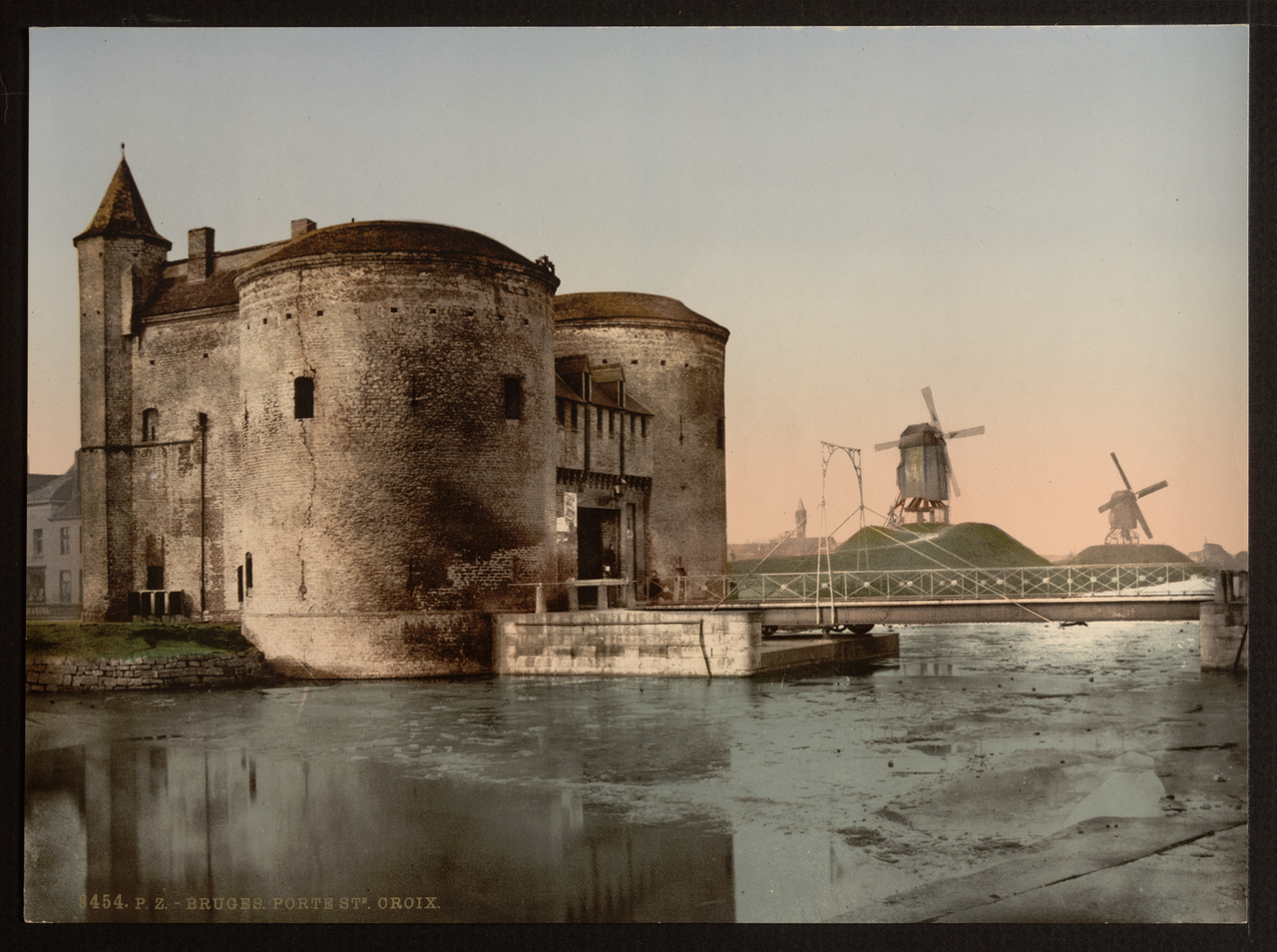
- Buffer zone: Surrounds the inscribed core, including suburban canals and windmills
- Monitoring: Annual reports on visitor numbers, hotel capacity and traffic calming
- Restoration: EU and Flemish grants support church and guild house maintenance
Research and Documentation
City archives preserve guild registers, toll records and Burgundian ducal correspondence used by historians reconstructing trade flows. Digitisation projects make cadastral maps available for comparative urban studies.
Academic partnerships with Ghent and KU Leuven produce geophysical surveys revealing former convent gardens and market halls beneath modern pavements.